About this site
Photo credits
Every photo on this site, who took it, and its license. Photos are from Wikimedia Commons; some are cropped and color-adjusted. Aerial photos are from USDA NAIP (public domain), listed with the map data below.
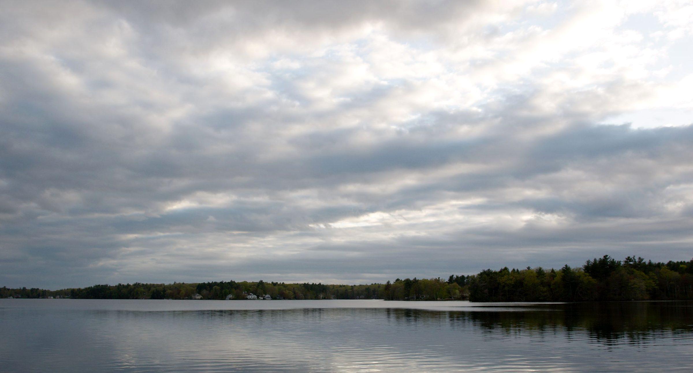
Canobie Lake (2011)
Photo: Fletcher6. CC BY-SA 3.0. Source for Canobie Lake (2011)

Canobie Lake east shore at dusk from Canobie Lake Park (2009)
Photo: EgorovaSvetlana. CC BY-SA 4.0. Source for Canobie Lake east shore at dusk from Canobie Lake Park (2009)
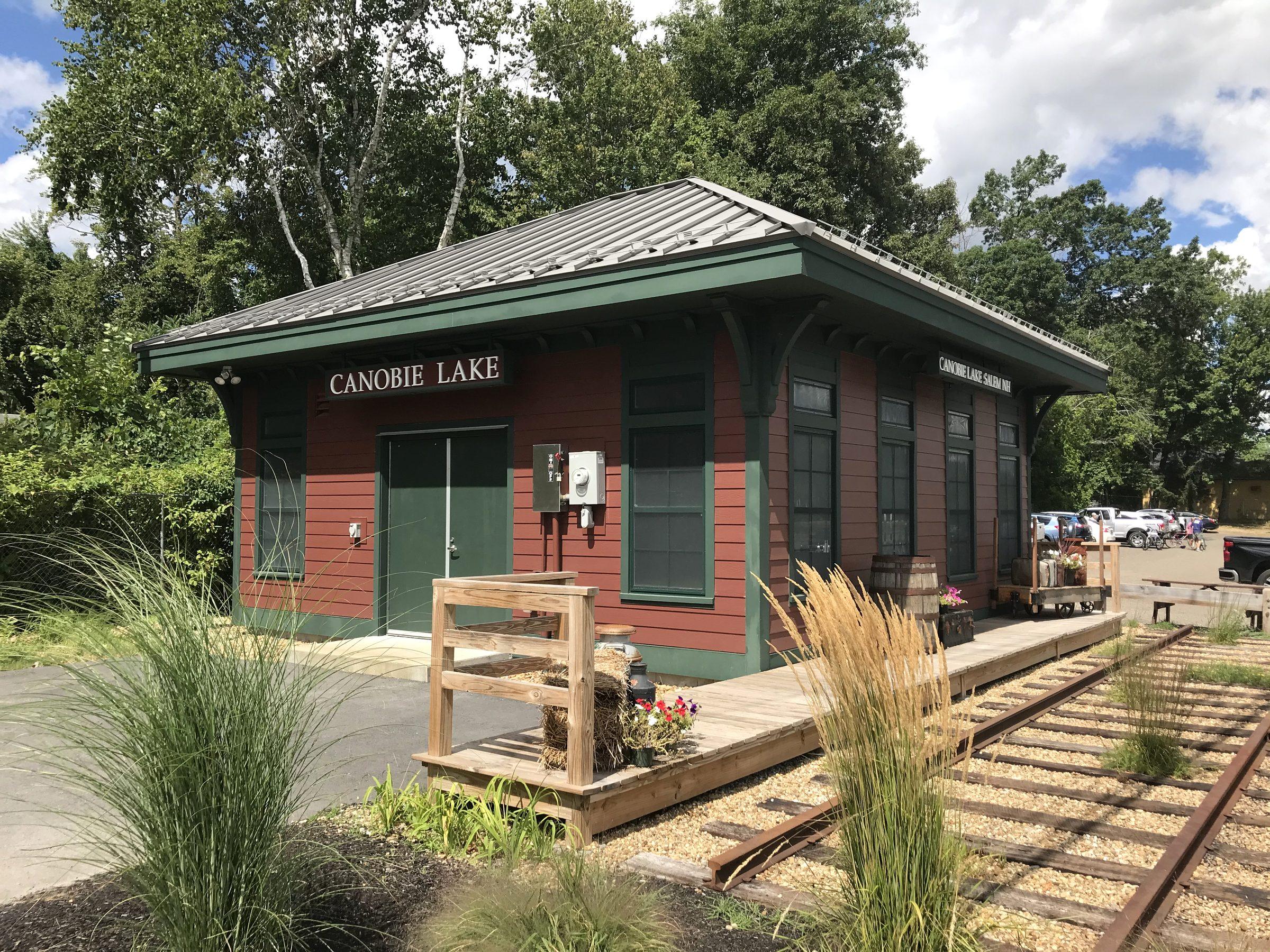
Canobie Lake Station (historic rail station), Salem NH (2022)
Photo: John Phelan. CC BY-SA 4.0. Source for Canobie Lake Station (historic rail station), Salem NH (2022)
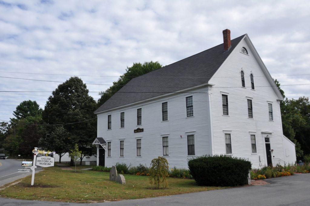
Old Town Hall, Salem Center (Salem Common Historic District)
Photo: Magicpiano. CC BY-SA 3.0. Source for Old Town Hall, Salem Center (Salem Common Historic District)
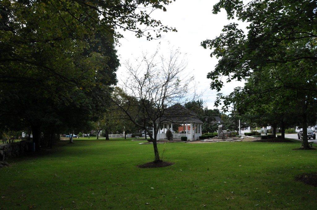
Salem Common, Salem Center
Photo: Magicpiano. CC BY-SA 3.0. Source for Salem Common, Salem Center
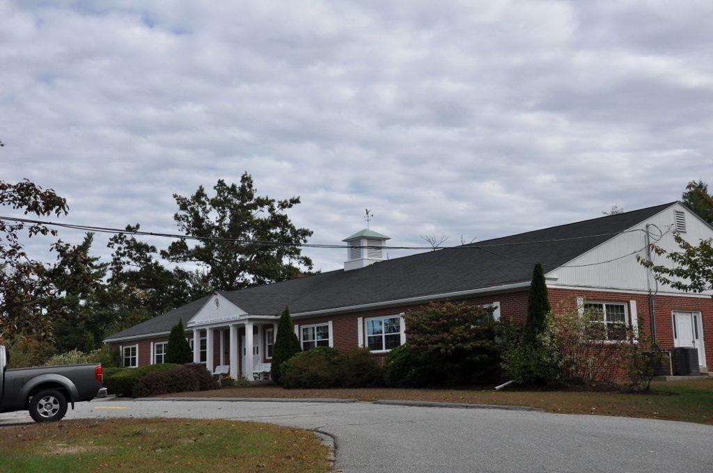
Salem Town Offices (Town Hall), Geremonty Dr
Photo: Magicpiano. CC BY-SA 4.0. Source for Salem Town Offices (Town Hall), Geremonty Dr
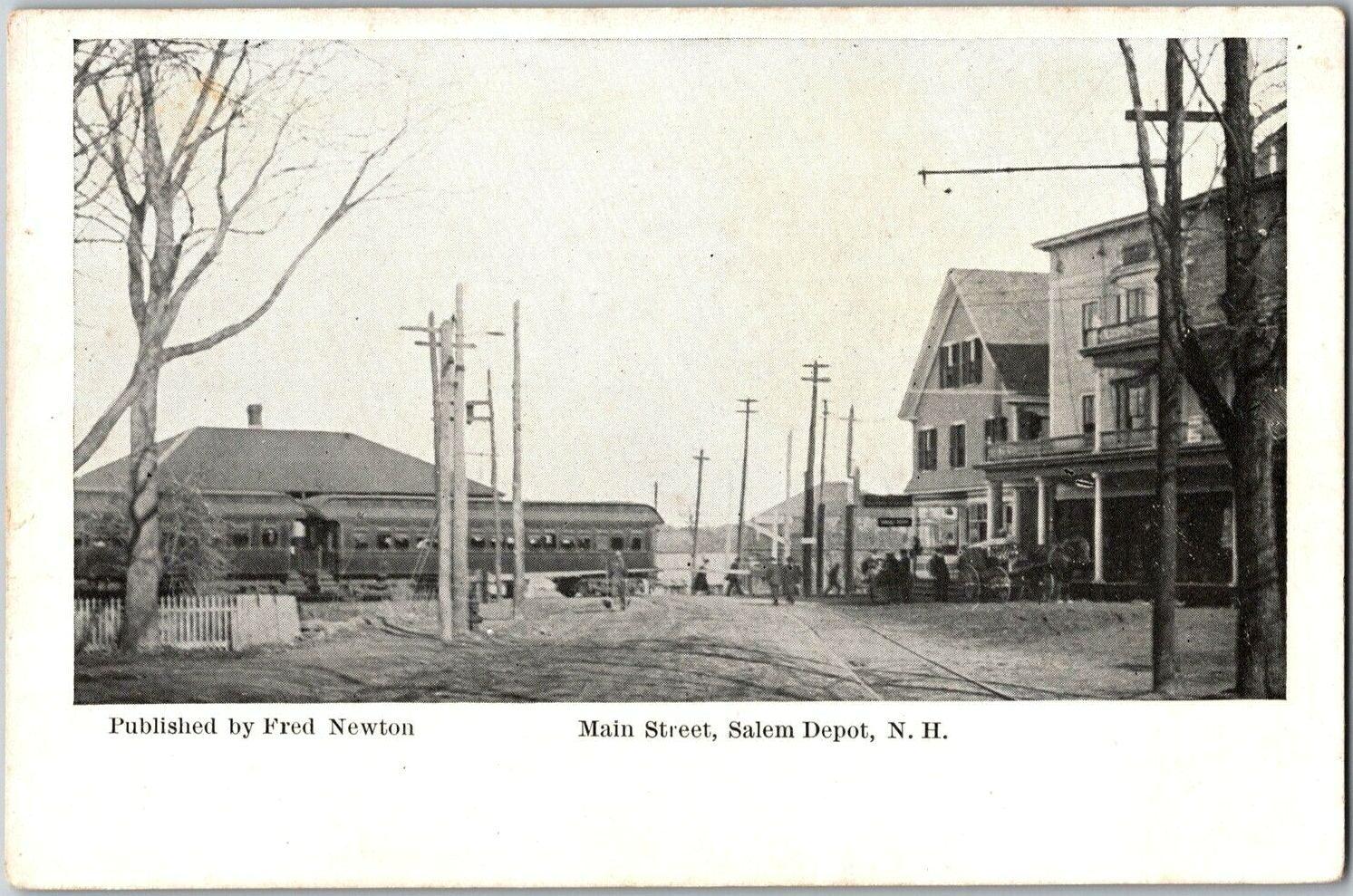
Salem NH railroad station - vintage postcard (c.1907-1915)
Photo: Fred Newton, publisher. Public domain. Source for Salem NH railroad station - vintage postcard (c.1907-1915)
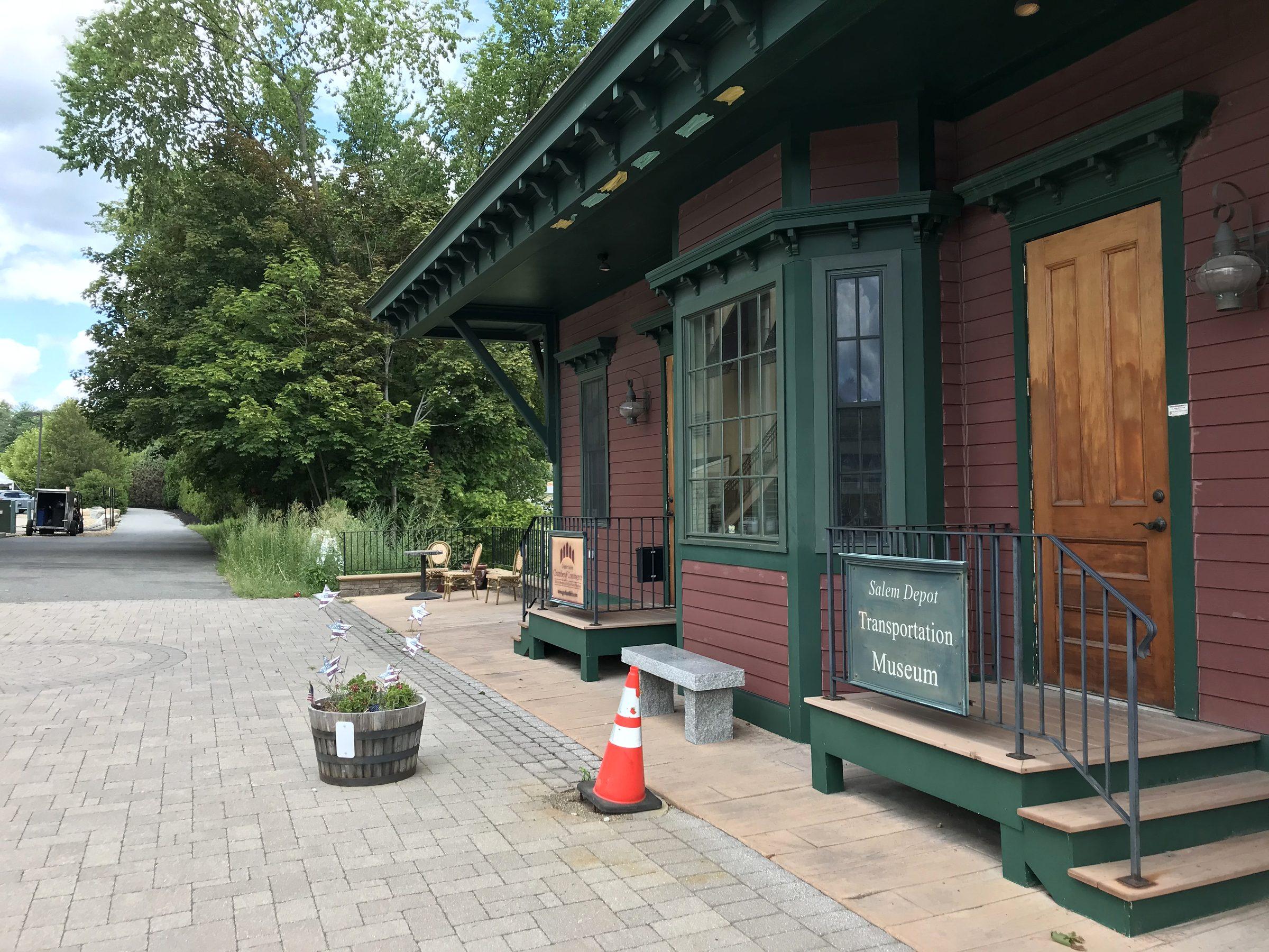
Salem Bike-Ped Corridor at Salem Depot (2022)
Photo: John Phelan. CC BY-SA 4.0. Source for Salem Bike-Ped Corridor at Salem Depot (2022)
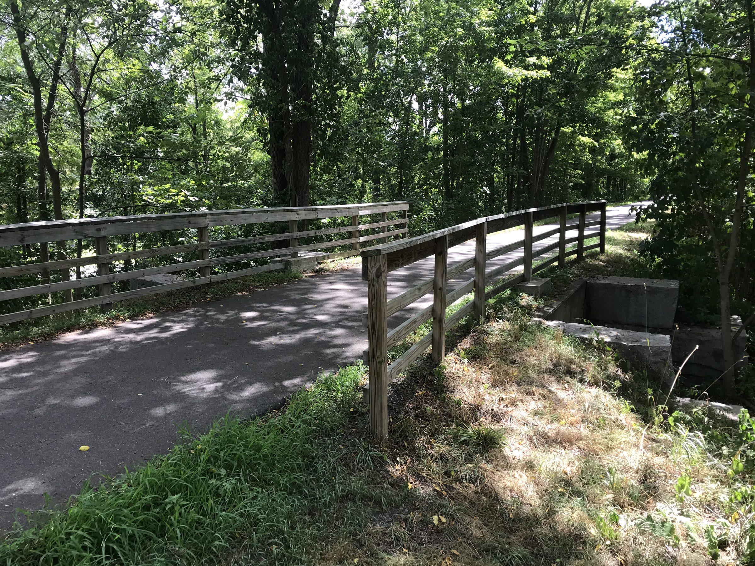
Cow Tunnel on the Salem Bike-Ped Corridor (2022)
Photo: John Phelan. CC BY-SA 4.0. Source for Cow Tunnel on the Salem Bike-Ped Corridor (2022)
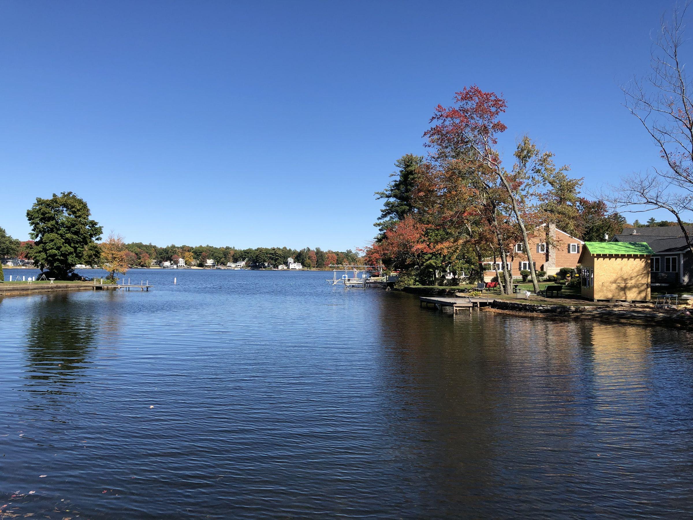
Arlington Mill Reservoir, Salem (October 2020)
Photo: Ken Gallager. CC BY-SA 4.0. Source for Arlington Mill Reservoir, Salem (October 2020)
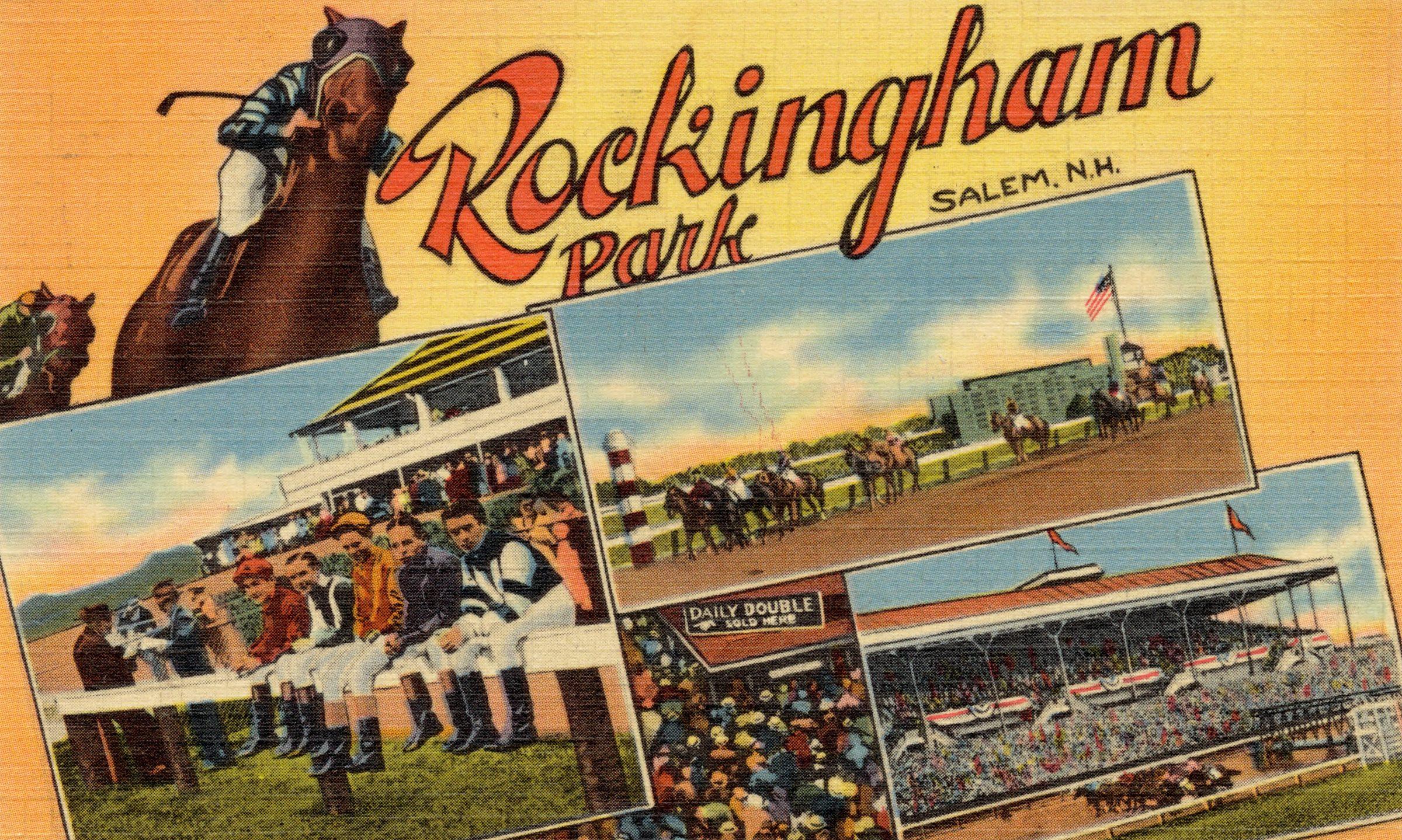
Rockingham Park, Salem, N.H. - vintage postcard (c. 1930-1945), Boston Public Library, Tichnor Brothers collection
Photo: Tichnor Brothers, publisher. Public domain. Source for Rockingham Park, Salem, N.H. - vintage postcard (c. 1930-1945), Boston Public Library, Tichnor Brothers collection


Changes: resized, cropped and given a slight contrast adjustment. Adapted versions of CC BY-SA photos are shared under the same license.
Data credits
The maps and lookups use public data. Each page names its source and the date we checked it.
- Town of Salem GIS: parcels, zoning districts, overlay districts, prime wetlands, sewer and water mains, road centerlines, voting districts and Planning Board applications. Credit: Town of Salem, NH GIS.
- FEMA National Flood Hazard Layer: flood zones on business and industrial lots.
- US Fish and Wildlife Service National Wetlands Inventory and USGS National Hydrography Dataset, through NH GRANIT (University of New Hampshire): wetlands, ponds and streams near business and industrial lots.
- USDA National Agriculture Imagery Program (NAIP), through USGS The National Map: the aerial photos on the commercial and industrial sites pages: 30 cm imagery flown July 7 and Aug. 24, 2023, cut into map tiles and crops for this site. Public domain. Credit: USDA NAIP via USGS The National Map.
- NH Department of Transportation traffic counts, through NH GRANIT: average daily traffic on counted roads near business and industrial lots.